
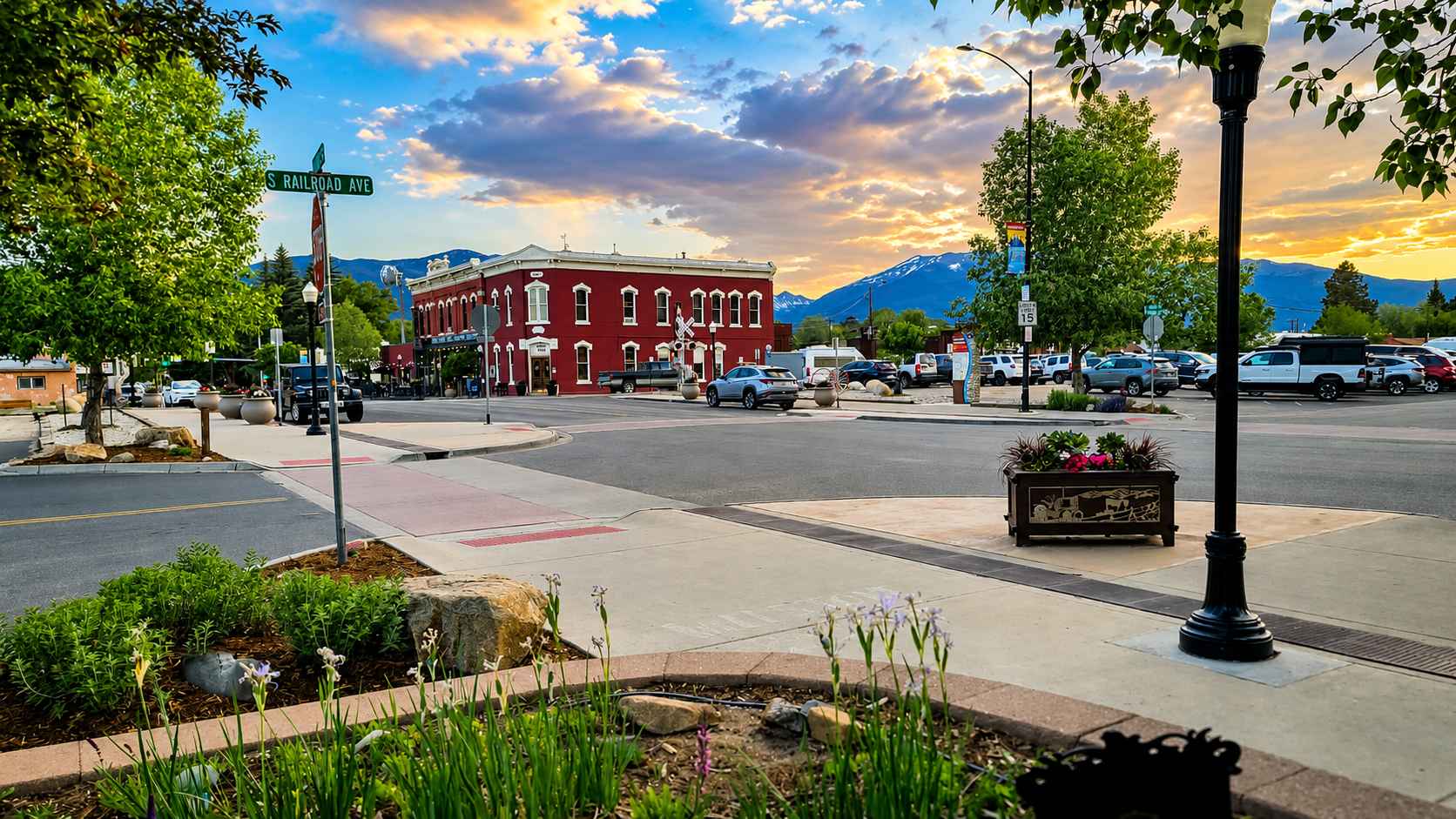
Arkansas River Towns
Explore the towns of the Arkansas River Valley
From Leadville and Twin Lakes to Buena Vista, Salida, Cotopaxi, and Cañon City, these river towns are the backbone of Colorado’s Arkansas River country.
River Corridor
Town-by-town guide
Use this page to compare the main communities along the Arkansas River, including elevation, historic roots, nearby recreation, and what each town is best for.
High Country Gateway
Leadville
Leadville sits near the headwaters of the Arkansas River and is one of Colorado’s great mining towns. It is a strong northern starting point for exploring the full river corridor.
- Best for mining history, museums, high-country drives, and 14er access.
- Close to Mount Elbert, Mount Massive, Turquoise Lake, and Tennessee Pass.
Historic Lake Village
Twin Lakes
Twin Lakes is a scenic historic village near the upper Arkansas River, known for lake views, mountain scenery, and access toward Independence Pass.
- Best for lake views, camping, paddling, photography, and scenic drives.
- Close to Mount Elbert trailheads and the Collegiate Peaks landscape.
Historic River Stop
Granite
Granite is a small historic community along the Arkansas River between Leadville and Buena Vista. It sits near some of the steepest whitewater sections of the river.
- Best for upper river scenery, history, and access toward advanced whitewater.
- Near Pine Creek, The Numbers, and the upper Arkansas River corridor.
Adventure Basecamp
Buena Vista
Buena Vista is one of the main outdoor towns in the Arkansas River Valley, with quick access to rafting, hot springs, hiking, biking, camping, and fishing.
- Best for Browns Canyon rafting, hot springs, trails, and family trips.
- Close to Cottonwood Pass, Collegiate Peaks, and river access points.
Hot Springs & River Access
Nathrop
Nathrop is a small community between Buena Vista and Salida, known for Chalk Creek Canyon, hot springs, campgrounds, ghost towns, and river access.
- Best for hot springs, camping, Chalk Creek Canyon, and Browns Canyon access.
- Close to Mount Princeton, St. Elmo, and Agnes Vaille Falls.
River Town & Creative District
Salida
Salida sits directly on the Arkansas River and has one of Colorado’s best walkable downtowns, with food, art, river parks, biking, festivals, and mountain access.
- Best for downtown exploring, river walks, food, art, biking, and events.
- Close to Monarch Pass, Poncha Springs, and Bighorn Sheep Canyon.
Small River Community
Cotopaxi
Cotopaxi is a small Arkansas River community between Salida and Cañon City, known for river access, fishing, rafting, and unusual Colorado history.
- Best for Bighorn Sheep Canyon rafting, fishing, and quiet river stops.
- Located along U.S. Highway 50 beside the Arkansas River.
Royal Gorge Gateway
Cañon City
Cañon City is the eastern gateway to the Royal Gorge and one of the warmer towns along the Arkansas River corridor.
- Best for Royal Gorge scenery, scenic rail, rafting, family attractions, and warmer weather.
- Close to Skyline Drive, Tunnel Drive, Shelf Road, and the Royal Gorge.