
Scenic Drives & High Country
Cottonwood Pass
Follow the road west from Buena Vista through the Collegiate Peaks to the Continental Divide at more than 12,000 feet.
From Town to Tundra
One Road, Several Different Colorados
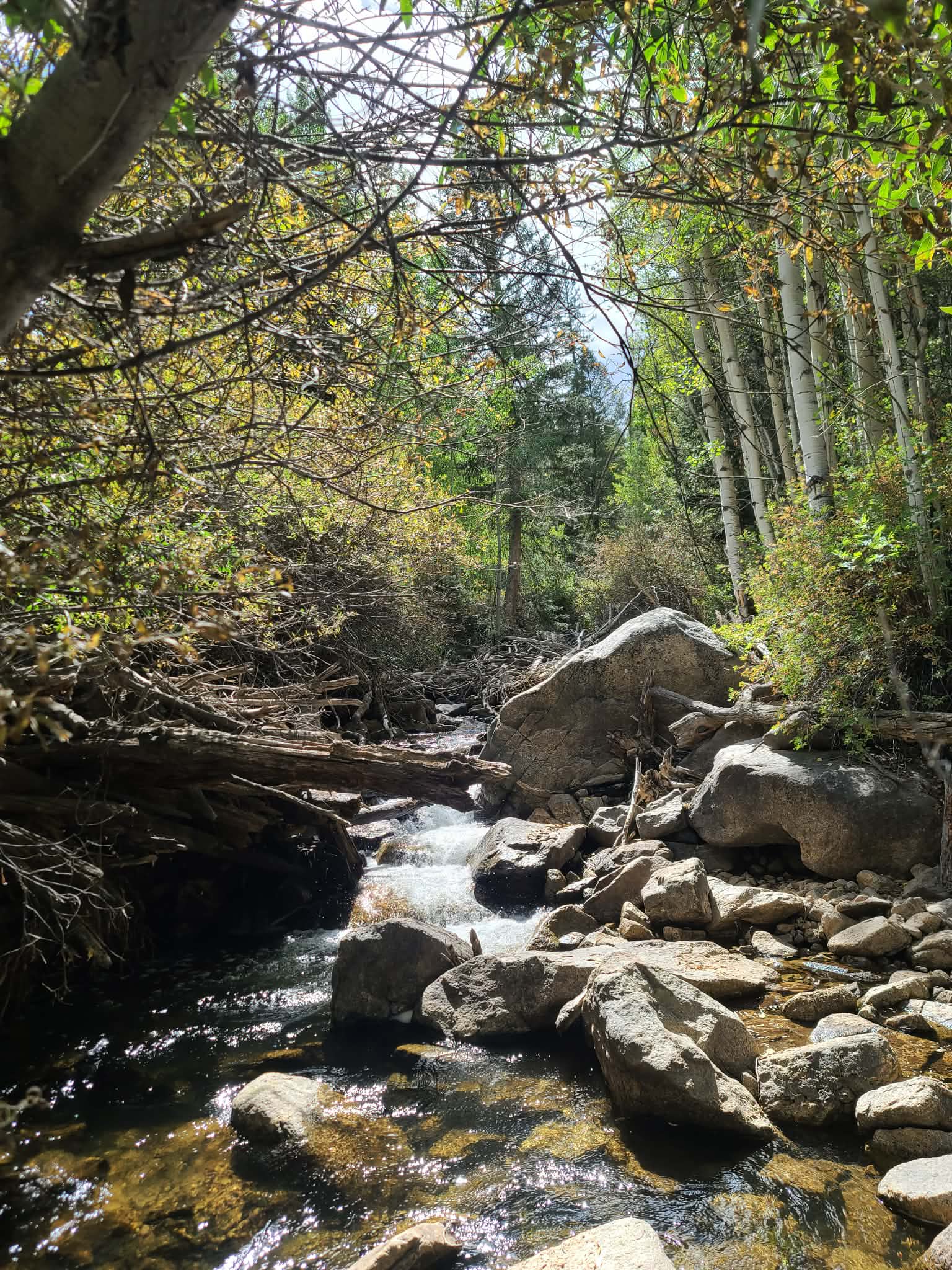
Cottonwood Pass begins right in downtown Buena Vista. Head west on Main Street and the pavement simply keeps going, following Cottonwood Creek higher into the Sawatch Range.
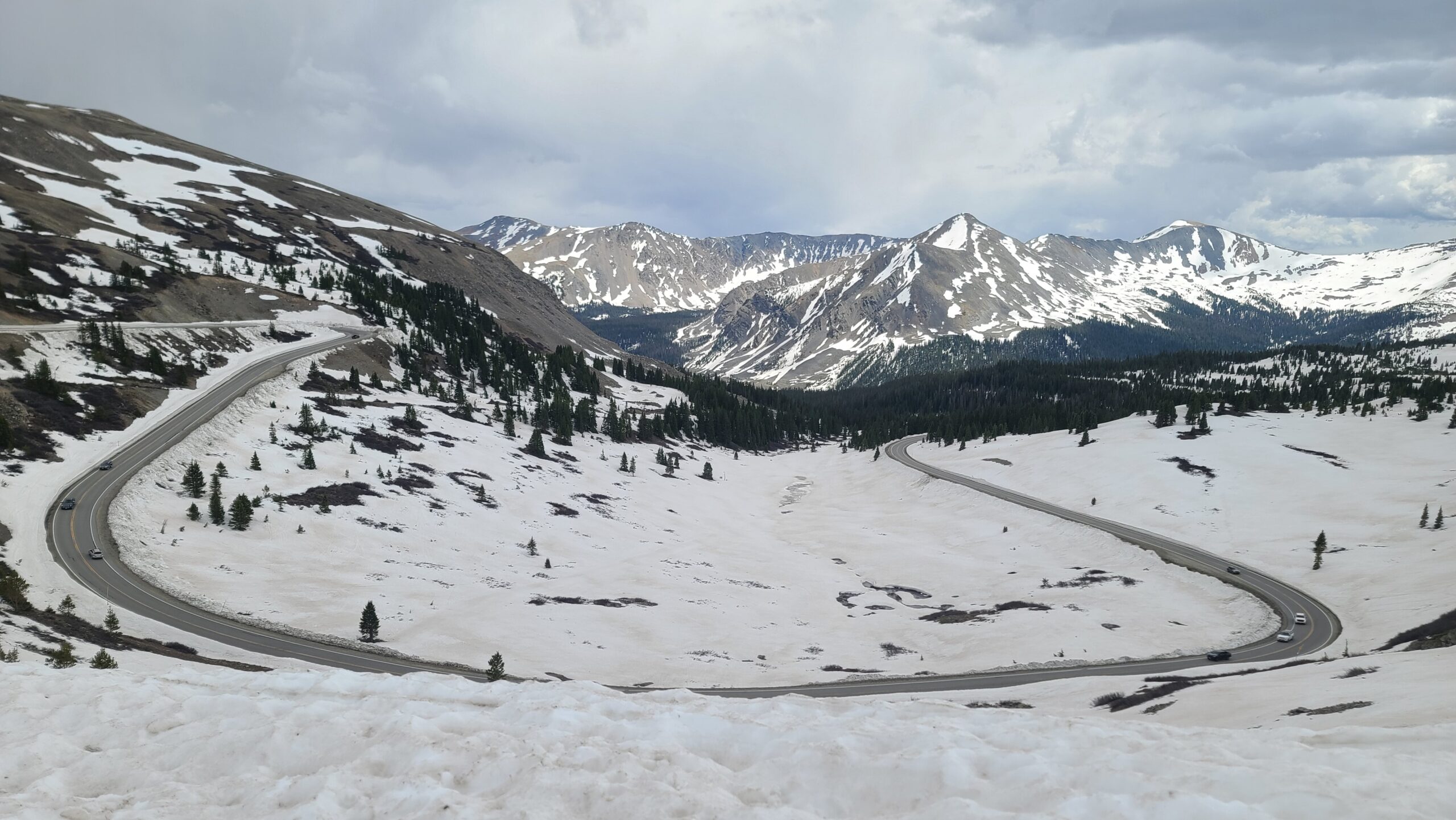
In less than 20 miles, the road climbs from the Arkansas River Valley through pine and aspen forest, past mountain trailheads and alpine lakes, and eventually above treeline to the Continental Divide.
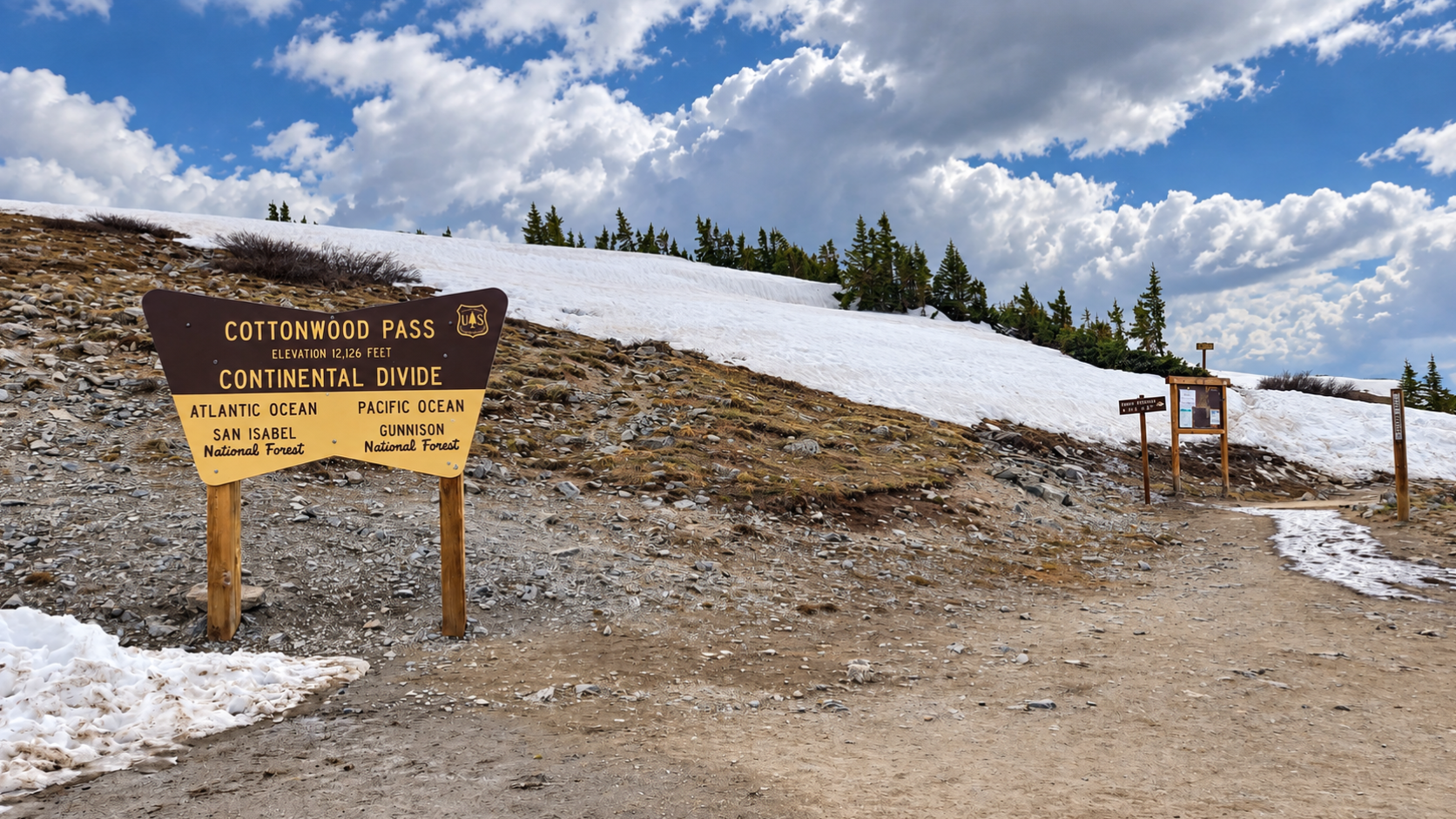
At the summit, Cottonwood Pass reaches about 12,126 feet. On the other side, the road drops into Taylor Park and the Gunnison River watershed.
You can make the pass a quick scenic drive from Buena Vista or turn it into a full day by stopping for hikes, lakes, picnics, photography, fishing, or a trip all the way into Taylor Park.
The Basics
Cottonwood Pass at a Glance
Summit
12,126 Feet
The road crosses the Continental Divide high above treeline with expansive views into both the Arkansas and Gunnison watersheds.
From Buena Vista
About 20 Miles
Main Street becomes County Road 306 as it leaves Buena Vista and continues directly toward the mountains.
Road Surface
Paved
Cottonwood Pass is paved across the Continental Divide and down the western side toward Taylor Park.
Season
Late Spring Through Fall
The upper road closes for winter and reopening depends on snowpack, plowing, and spring conditions.
Along the Way
More Than Just a Drive to the Summit
Some of the best parts of Cottonwood Pass are found before you ever reach the Continental Divide.
Mountain Soak
Cottonwood Hot Springs
Just outside Buena Vista, Cottonwood Hot Springs sits beside Cottonwood Creek near the beginning of the drive into the mountains.
It makes an easy stop after hiking or a destination of its own.
Explore Buena Vista hot springs →Lake Detour
Cottonwood Lake
A side road south from Cottonwood Pass Road leads to Cottonwood Lake, a forested mountain lake popular for fishing, paddling, picnicking, and camping.
It is an easy way to add a slower stop to a day on the pass.
Fourteener Access
Denny Creek
Denny Creek Trailhead is the main starting point for the standard southwest route on Mount Yale.
Even if you are not climbing the fourteener, this stretch of road marks the transition into increasingly rugged high country.
Explore Buena Vista 14ers →Alpine Hiking
Ptarmigan Lake
Ptarmigan Lake is one of the classic high-country hikes along the Cottonwood Pass corridor, climbing from forest into an open alpine basin beneath high ridges and peaks.
The trailhead is reached directly from Cottonwood Pass Road before the final climb to the summit.
Shorter Hike
Lost Lake
Higher on the pass, Lost Lake offers a shorter way to get into the alpine landscape without committing to a full-day summit hike.
The trail climbs into a high basin surrounded by tundra, rocky ridges, and mountain views.
Continental Divide
The Summit
At the top of Cottonwood Pass, the forest disappears and the road reaches open alpine tundra at roughly 12,126 feet.
Park at the summit and walk out onto the surrounding ridges for views across both sides of the Continental Divide.
12,126 Feet
Walk the Continental Divide
You do not have to hike for hours to experience the alpine zone here. The summit parking area puts you directly above treeline.
Trails leave the pass in both directions along the Divide. This is part of the high route used by the Continental Divide Trail and the Collegiate West route of the Colorado Trail.
Even a short walk can lead to dramatically different views than you get from the parking area, but remember that you are already above 12,000 feet. Weather can change quickly and the surrounding ridges offer very little shelter.
Trailheads
Hiking Along Cottonwood Pass
The road provides access to everything from short alpine walks to full-day wilderness hikes.
Lost Lake
A relatively short alpine-lake hike high on the east side of the pass. It is a good choice when you want a real mountain hike without spending the entire day on the trail.
Ptarmigan Lake
A longer climb into an alpine basin south of the road. Expect several miles of hiking and substantial elevation gain before reaching the upper lakes.
Continental Divide
Start directly from the summit and follow high alpine trail in either direction. Even short walks provide huge views, but the terrain is exposed to wind, lightning, and rapidly changing weather.
Mount Yale
The Denny Creek Trailhead provides access to Mount Yale's standard Southwest Slopes route, one of the major fourteeners above the Buena Vista area.
Buena Vista fourteener guide →Over the Divide
Keep Going to Taylor Park
Cottonwood Pass does not have to be an out-and-back drive. Continue west over the Continental Divide and the road descends into the broad Taylor Park basin.
Taylor Park Reservoir sits below the surrounding mountains and is a destination for camping, fishing, boating, OHV riding, and exploring the backcountry west of the Sawatch Range.
Continue downstream along the Taylor River and the road eventually reaches Almont, where you can continue toward Gunnison or Crested Butte.
When to Go
Cottonwood Pass Through the Seasons
Summer
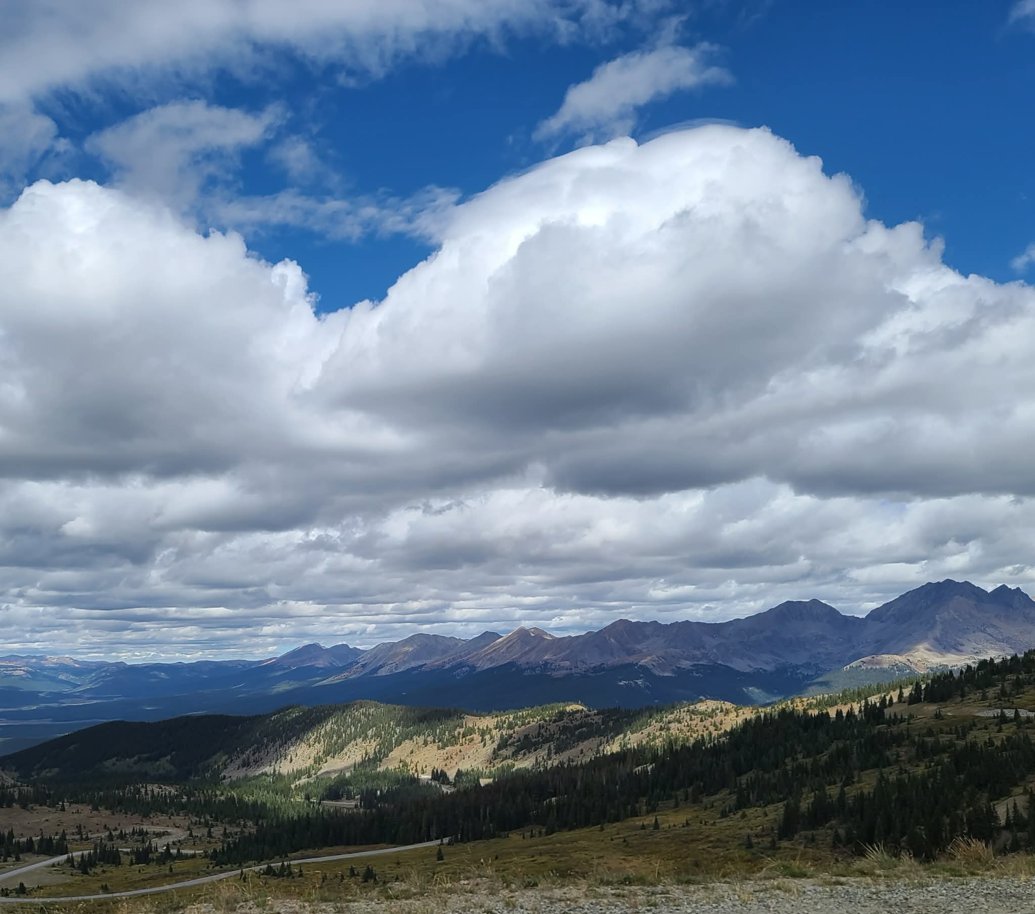
Summer offers the easiest access to the summit, alpine hiking, wildflowers, camping, and the many trailheads along the road.
Afternoon thunderstorms are common in Colorado's high country. Plan exposed hikes early in the day.
Fall
The lower sections of Cottonwood Pass Road run through large stands of aspen, making the corridor especially scenic when fall color moves through the Arkansas River Valley.
Snow can arrive early at the summit even while conditions remain warm in Buena Vista.
Winter
The road across the Continental Divide closes seasonally and is not maintained for ordinary vehicle travel through the winter.
Lower portions of the corridor remain important access points for winter recreation.
Spring
Buena Vista may feel like spring long before the high country does. Deep snow can remain near the pass well into late spring.
Opening dates vary from year to year, so always check current road conditions before planning to cross the Divide.
Before You Go
High Country Changes Fast
Cottonwood Pass is easy to reach, but the summit is still an exposed alpine environment above 12,000 feet.
Check the Road
Snow, storms, maintenance, and seasonal closures can affect access. Check current conditions before leaving Buena Vista, especially in spring and fall.
Check Chaffee County road information →Expect High Elevation
The summit is more than 4,000 vertical feet above Buena Vista. Temperatures can be dramatically colder and visitors coming from lower elevations may feel the altitude.
Watch for Thunderstorms
Once above treeline there is very little shelter. If thunderstorms begin building, do not remain on exposed ridges or tundra.
Fill Up Before You Go
Bring water, food, warm layers, and enough fuel for your plans before heading deep into the mountains.
Explore More
More Around Buena Vista
Cottonwood Pass connects several of the best outdoor experiences on the west side of the Arkansas River Valley.