
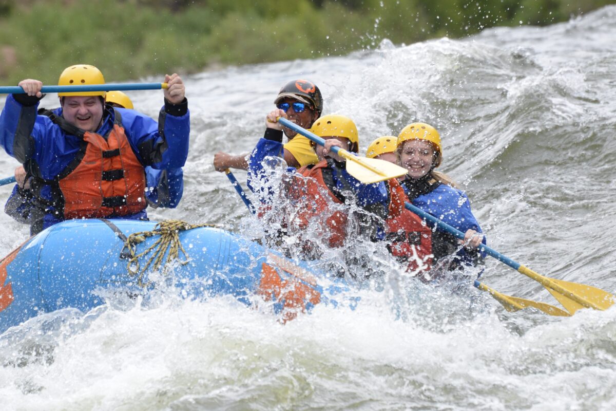
Checking the Arkansas River flow before a rafting trip is useful. Knowing what that number actually means is much more useful.
A river flowing at 400 cubic feet per second is not simply a smaller version of the same river at 1,400 cfs. Water level changes the speed of the current, the shape of waves, which rocks are exposed, how rapids are run and sometimes which section makes the most sense for a particular group.
Here is how to think about Arkansas River flows without getting trapped by a single number.
First, what does CFS mean?
CFS stands for cubic feet per second. It measures the volume of water passing a point in the river.
One cubic foot is roughly the size of a basketball-sized box. When a gauge reads hundreds or thousands of cfs, imagine that volume moving past the gauge every second.
But there is an important catch: the Arkansas River does not have one flow reading.
Gauges are located at different places along the river. Tributaries enter, diversions remove water and reservoir releases can add water. A reading near Nathrop is not the same thing as a reading near Parkdale or Cañon City.
Higher water does more than make waves bigger
As flow rises, the river generally becomes deeper and faster.
Some rocks that create obstacles at lower water become submerged. Channels connect. Waves and holes can become more powerful. Eddies may shrink and the amount of time available to recover between rapids may decrease.
On some sections, higher water can actually make individual rock maneuvers simpler because many obstacles disappear beneath the surface. At the same time, the consequences of a mistake can increase because everything is moving faster.
This is why “more water equals harder” is useful as a rough idea but not a complete description.
Moderate flows often create the classic experience
At moderate levels, many of the Arkansas River’s best-known sections show the combination people picture when they think of Colorado rafting: defined rapids, waves, exposed granite and enough current to move efficiently between features.
For trips such as Browns Canyon, this can produce a good balance between recognizable whitewater and recovery time between rapids.
It is also one reason the Arkansas supports such a wide variety of users. Different sections can offer everything from easier family rafting to technical expert whitewater at the same time.
Low water does not mean no rafting
One of the biggest misconceptions about whitewater is that a lower river simply stops being raftable.
That is not how a rocky mountain river works.
As water drops, more rocks and gravel bars appear. Channels become narrower and guides may need to make more precise moves through the remaining water.
Rapids often become less powerful, but the route through them can become more technical.
Some sections work much better at low flows than others. A good outfitter may change boat size, passenger loads, equipment, launch points or even move a trip to a different stretch of river to provide a better experience.
This is one reason local knowledge matters more than simply reading a gauge from home.
The same CFS means different things on different sections
A flow number without a location is nearly meaningless.
The upper river near Granite has a much narrower channel and steeper gradient than the river through the open Salida Valley. Bighorn Sheep Canyon has a different channel shape again. By the time the Arkansas reaches Cañon City, additional tributaries and diversions have affected the total flow.
When someone tells you, “The Arkansas is at 500,” the next question should be: 500 where?
Spring runoff
The natural Arkansas River hydrograph is driven heavily by mountain snow.
As temperatures rise in late spring, snowmelt from the Sawatch Range and surrounding mountains moves into creeks and the Arkansas River.
During strong runoff periods, the river becomes faster, colder and more powerful. Experienced rafters may specifically seek these conditions, while families with younger children may be moved to easier sections or asked to wait for more moderate water.
Summer flow management
The Upper Arkansas is unusual because natural runoff is not the only factor affecting summer flows.
Colorado water managers and local stakeholders participate in the Upper Arkansas Voluntary Flow Management Program, which can use stored water to help support both recreation and the fishery when hydrologic conditions allow.
Colorado Parks and Wildlife publishes the current target and readings from several gauges on its Arkansas River water flow page.
That official page is much more useful than relying on a screenshot or social media post that may already be several days old.
Late summer
As the season progresses, natural runoff declines and the river generally becomes lower.
The character of rafting changes with it.
Some big-water features become smaller. Beaches and rocks appear. The river can feel more intimate and technical. Certain easier sections become particularly appealing for families, fishing and mixed-use river trips.
Lower flow can also expose places to stop, swim or explore that simply are not available at high water.
Conditions vary significantly from year to year, so calendar date alone should never be used as a substitute for checking the river.
Flow also matters to anglers
Rafting isn’t the only reason river flows matter.
The Arkansas is a major trout fishery, and flow, water temperature and clarity influence where fish hold and how anglers approach the river.
Very high water can make wading difficult or impossible in places. Lower water makes more river accessible on foot but can concentrate fish and increase stress when water temperatures become elevated.
See our Arkansas River fishing guide if fishing is part of your trip.
Don’t forget water temperature
A sunny 85-degree afternoon can create a false sense of security.
Arkansas River water comes from high-elevation snowmelt and remains cold enough that an unexpected swim can be serious.
Wear the gear recommended by your outfitter and never treat a PFD as optional simply because the weather is warm.
So what is the “best” flow?
There isn’t one.
The best flow for a family with a six-year-old is not necessarily the best flow for an experienced kayaker running The Numbers. The best fishing conditions aren’t necessarily the best big-water rafting conditions either.
A better question is:
What section of the river is working best for the kind of day we want?
Start with our Arkansas River rafting section guide, then check the official flow data and talk with a local outfitter before making decisions based solely on CFS.